CriticalMaps Blender Visualization
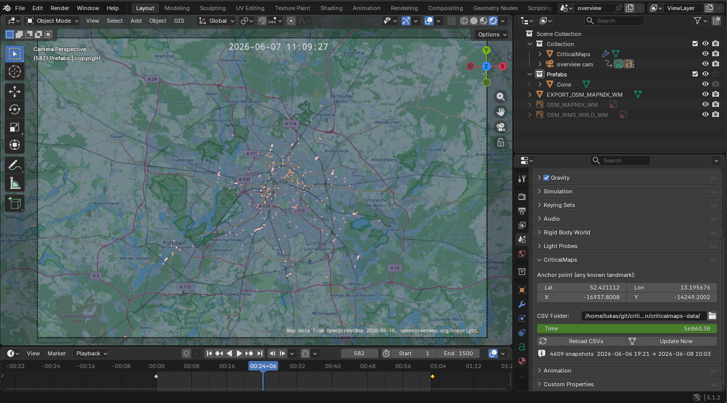
Critical Maps is a popular smartphone app at large group bicycle rides that helps people to find the group or to estimate its length. This project uses the CriticalMaps API to record everyone's position data, which can then be visualized in 3D in Blender.
I wanted to create a CriticalMaps timelapse of the ADFC Sternfahrt 2026 in Berlin. I found the related Browser-based project CriticalSnake, but its recording solution would have required me to leave my conventional computer on with a browser window open for the entire day. The Python script in the new project can instead run headless without any desktop environment, for example on a home server or an SBC. Using Blender for visualization opens up new room for creativity in how the camera can move and in how the world and the bicycles are drawn.
Links:
Technologies used:
- CriticalMaps
- Python
- Blender